Cartography, Geoinformatics
Cartography, Geoinformatics
In the field of cartography and geoinformatics we offer the following services:
- Field data collection for further analysis
mobile mapping, sampling, digital terrain modelling using ground-based laser scanning methods - Data processing
digitization of existing data (old maps, technical drawings, aerial survey photos), processing and evaluation of CAD/GIS data, modification of vector and raster data and their transformation into required formats, design and management of geodatabases, cartographic data processing and presentation - Data processing of the digital terrain model
creation of digital elevation model, surface model, relief model; slope inclinations, their orientation, exposure, creation of shaded relief; visibility maps; calculations of volumes and surfaces; terrain cuts - Air and satellite image processing
geometric transformations; orthorectification; data evaluation - Spatial analysis and data interpretation
network analyses, hydrological analyses, overlapping operations, value interpolation, generalization of map contents, geomarketing - 3D modelling and spatial visualization
creation of 3D models of buildings; perspective views of the terrain with the plot of required data layers; creating video sequences - Consultancy
administration, updating, and designing GIS projects and applications; consultations on modelling and GIS analysis
Geodesy
Geodesy
Services provided in the field of geodesy:
- engineering geodesy and mapping
- special geodesy (monitoring of slope deformations, settlement of buildings, bridge structures and undermined areas)
- cadastre of real estates – preparation of geometric plans, demarcation of land borders
- performing the function of an Authorized Surveyor in accordance with § 13, paragraph 1, point c) of Act No. 200/1994 Coll.
- professional qualification and competence to perform the function of the main mining surveyor

Measurement and output from a laser scanner – entrance into the Kateřinská Cave

Mapping of the area of Arba Minch Zuria Woreda, Ethiopia
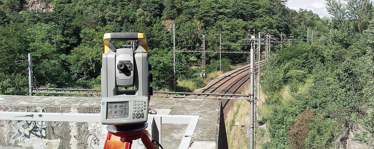
Surveying of a rock wall along the Adamov – Blansko railway line

Laser scanning of the Kateřinská Cave in the Moravian Karst

Geodetic measurement within the construction of the Královopolský Tunnel
Contact person:


